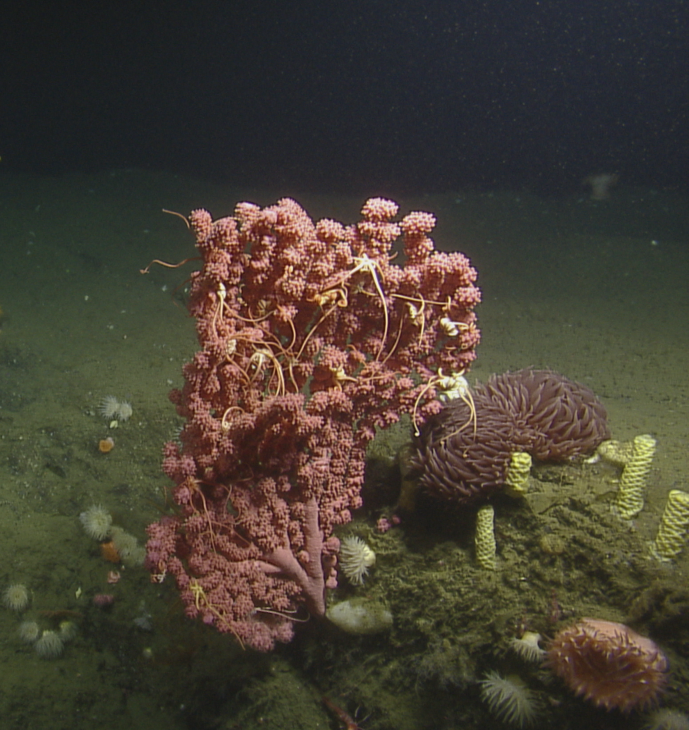
Bubblegum coral next to snail egg case columns in Pioneer Canyon, Monterey Bay National Marine Sanctuary. In 2020, researchers sampled corals and the surrounding water in this area for taxonomic information, coral ageing studies, ocean acidification state, and the presence of microplastics. Credit: Ocean Exploration Trust
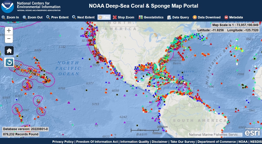
The Deep Sea Coral Research and Technology Program is tasked with identifying and mapping the locations of deep-sea corals. To meet this mandate, the Program has built a national geographic database that houses spatial records of deep-sea corals and sponges derived from the research funded by the Program, results of other NOAA programs that study the deep sea, and data voluntarily contributed by other federal agencies, research institutions and international organizations.
Resources:
- Official archive of the database - Go here to download the entire archived version of the database via a zip file. Official metadata, citation, and other key information is also provided. (NOTE: the dataset available here may be older than the current one available from the map portal. You can tell which version of the database you are using by inspecting value the 'DatabaseVersion' variable.)
- Dataset index - An index to all of the individual datasets that make up the National Database. Access to download each dataset individually is provided within the database dashboards available here.
- Data dictionary - web viewable (version 20221213-0) - Field definitions for the National Database in a web viewable format.
- Data dictionary - downloadable CSV (version 20221213-0) - Field definitions for the National Database as a downloadable CSV file.
Technical memos describing the National Database: